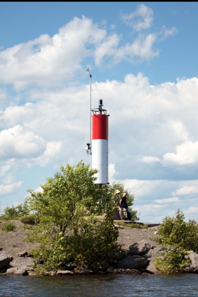
NSC's Weather Station & Lake Cam
Water level1: 0.6 m above chart datum.
Wind at NSC2: S at 7.7 kn, gusting to 11.
Ottawa Current3: Mostly cloudy, 25°C, feels like 32. Wind: SSW at 7 kn. Pressure: 101.2 kPa, falling. Relative humidity: 76%. Visibility: 13 nm.
Ottawa Today3: Mainly cloudy with 40% chance of showers and risk of a thunderstorm. Wind becoming west 16 kn this afternoon. High 29. Humidex 37. UV index 8 or very high.
- Current & 6-Hour, 24-Hour and 7-Day Histories — Charts and plots of our Weather Station's data.
- BYC's "Lake Cam" — Real-time view of Lac Deschênes, from Britannia Yacht Club.

Conditions & Forecasts
Wind
- Sailflow Winds — For Lac Deschênes using NSC & BYC sensors data
- VentuSky — Graphical area wind, temperature, and precipitation centred on NSC
- Wind Finder — Wind and weather forecast for NSC
- Wind Guru — Numerical wind and weather forecast for the Ottawa River
- Windy.com — Graphical wind forecast for NSC and area
Weather
- 3-Hours Precipitation Forecast — JS Marshall Radar Observatory
- 5-days & Current — Environment Canada (EC) weather for Ottawa North
- 7-days & Current — The Weather Network (TWN) forecast for Ottawa
- Lightning — Environment Canada (EC) Ontario lightning danger map
- Ottawa & Nearby Places — Accuweather forecast

Water Levels
- Ottawa River Water Level — Past 48 hours for station 02KF005 (Britannia4)
- Water Levels — Additional links and info for water levels on Lac Deschênes
Radar & Satellite Images
- Canadian Weather Radar — Environment Canada scalable map
- Radar - Ottawa Centered — Accuweather Interactive Radar
- Satellite & Radar — TWN Interactive Weather Maps
- Satellite, Various — NOAA Satellite Images and Animation
Miscellaneous
- Air Quality Health Index – The most recent forecast values for Ottawa
- Hurricane & Storm Tracking — Current and predicted tracks
- Smoke Prediction for Ontario — 72h Hourly Maps at Ground Level
1 The water level is calculated as the difference between Britannia4 station's 57.9 m datum and the latest value in the Environment Canada Weather Office's Data File for Britannia4, updated every hour (Apr-Oct) and 4 hours (Nov-Mar).
Note to racers: The BYC gates must remain in place until the water level drops below ~59.0m or less than 1.1m above the datum.
2 Weather data is collected every 5 minutes by the NSC-owned Davis Vantage Pro2 Weather Station, mounted on the lighthouse at the harbour entrance.
Note that: (1) the wind at NSC is likely to differ from that elsewhere on the lake and at the airport, and (2) "No current data" is displayed whenever the application evaluates that, for whatever reason, no new data is available.
3 The current and forecast values at the Ottawa Airport are extracted every 5 minutes from the Ottawa (Kanata - Orléans) City Page. Wind speeds are converted to knots (kn), and distances to nautical miles (nm).
4 The Britannia water level and flow metering station are actually located at NSC!
ISO Abbreviations: kn stands for knot(s), where 1 kn = 1.85 km/h, and nm stands for nautical mile(s).
Disclaimer: NSC does not warrant the quality, accuracy, or completeness of any data made accessible through this page. The above information and links are provided on an "AS IS" basis without warranty or condition of any nature.
Sept 14, DS: Updated Network Channel URL after W.N. update. Sept 9, DS: added link in note 4. Aug 28, DS: fixed double href in Radar - Ottawa Centered link. Aug 13, DS: made all external links open in a new tab. Centered bullets with lighthouse image. Removed triple href in fireworks URL. Jun 12: SF: Removed rounded. Jun 08: DS: added 72 hours of prediction smoke at ground level. Jun 06: new Air Quality Health Index link. Apr 06 - new EC Radar link. Mar 15, DS: new Kadence style. May 29, SF: Added photo and grouped conditions &forecasts.
